Goodhue Pioneer State Trail

GOODHUE PIONEER STATE TRAIL

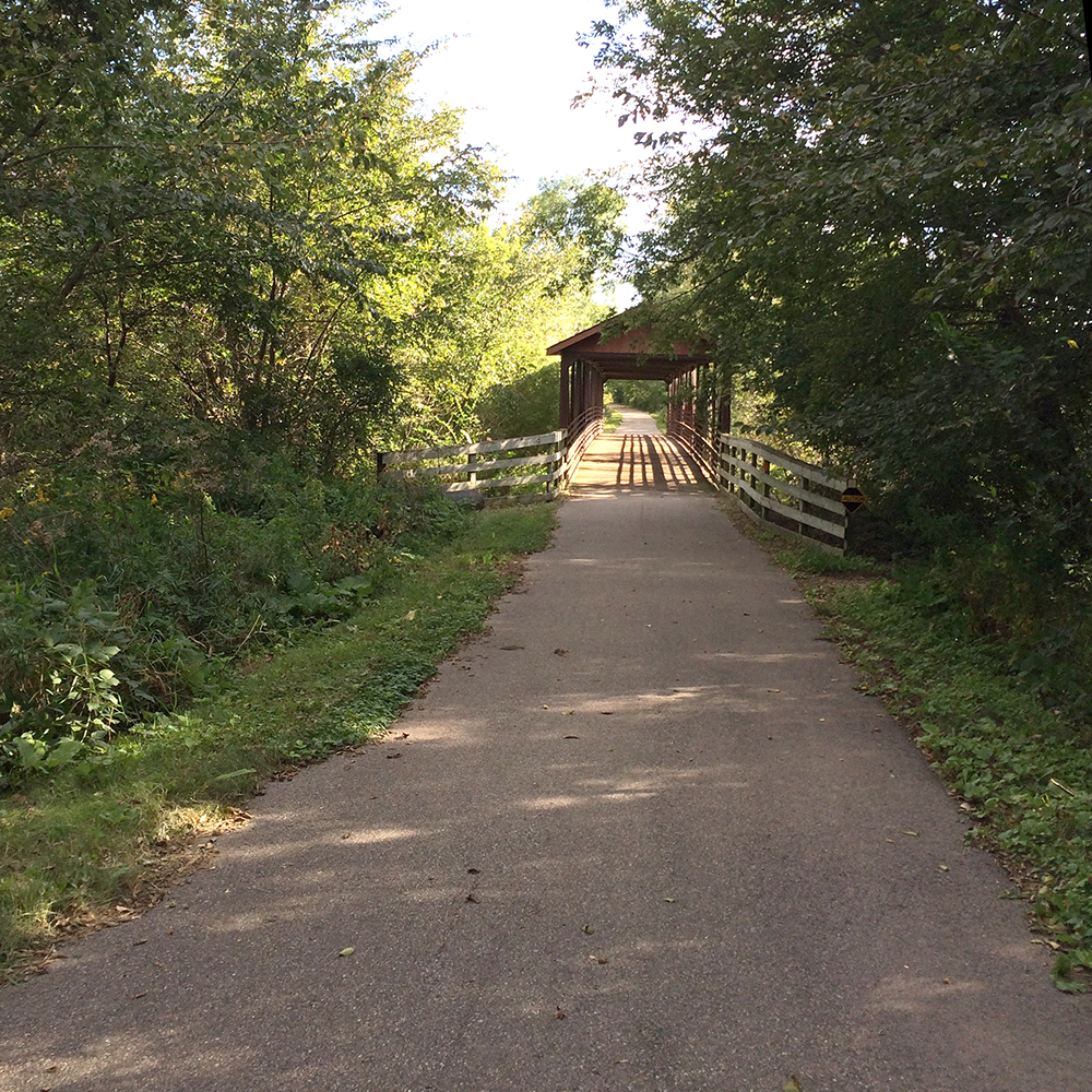
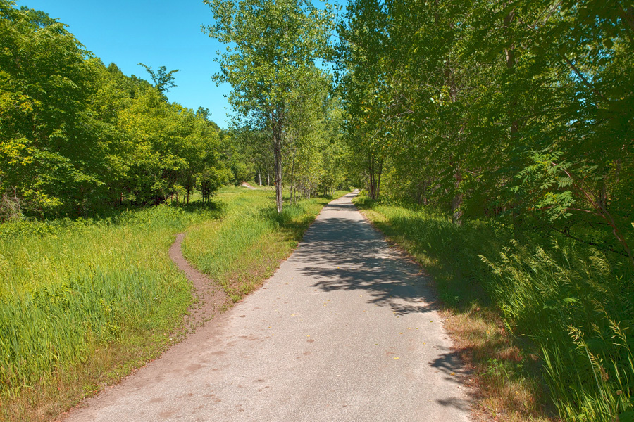
Paved trail winding into a forest
Near Hay Creek
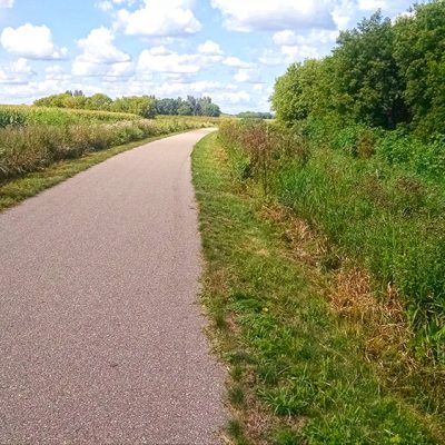
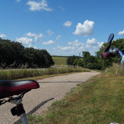
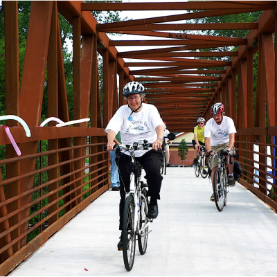
bicyclist on paved path with bright sun
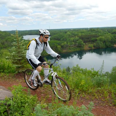
Bicycling on the trail.
covered wooden bridge
One of the bridges along the trail.
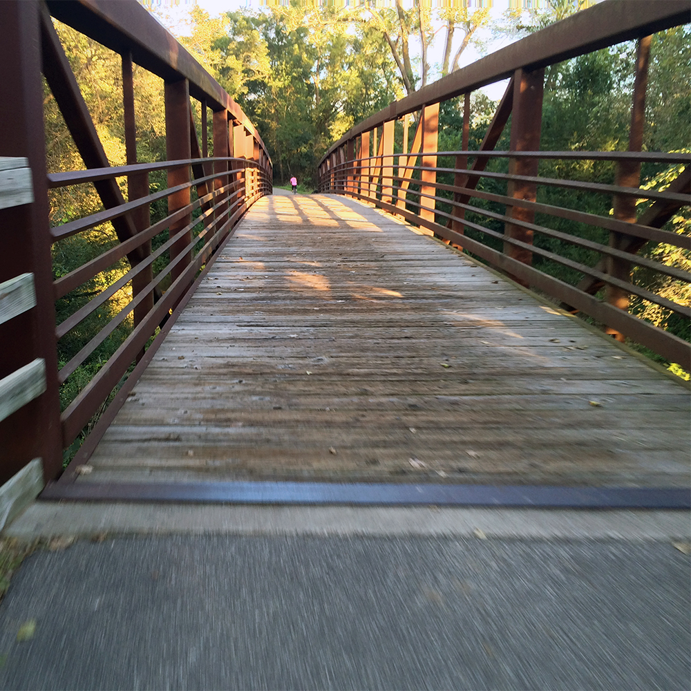
wooden bridge
One of the bridges along the trail.

About the trail

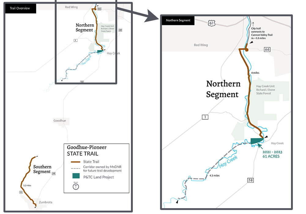
Currently, this trail exists in two unconnected segments, each less than six miles long. The northern segment does, however, connect seamlessly to the 19-mile Cannon Valley Trail via a short city trail connection in Red Wing. Meanwhile, the southern segment is anchored in the city of Zumbrota at the Covered Bridge Park, home to an historic covered bridge.

When complete, these two segments will be joined together and the trail will extend for 47 miles with Red Wing in the north and Pine Island in the south. It will pass through several other small cities in between. It will also serve as a link in the chain to connect the Cannon Valley Trail and Douglas State Trail.

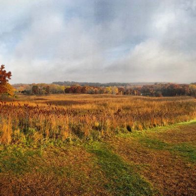
This trail passes through a scenic mix of tall grass prairies, maple and basswood forests, and oak savanna. Deer, fox, wild turkeys, beavers, pheasant, eagles and opossum can often be seen from the trail.

The trail is paved and used by bicyclists, hikers, in-line skaters, wheelchair users and snowmobilers. There’s an adjacent natural surface treadway for horseback riders in the area around the Hay Creek Unit of a State Forest.
Our Work by the Numbers

PROJECTS

2

undertaken by P&TC
for this park

ACRES

71

of land saved
for this park

YEAR

2023

when last project
was completed

DOLLARS

493 K

total value of
all land projects

Trail Map Showing Project Sites

Project Stories

Farmland easement

TIMELINE: 2010-2010

ACRES: 10

MILES: 1.5

LOCATION: Outside Zumbrota at 180th Ave

VALUE: $4,000

PARTNER: Goodhue Pioneer Trail Association

This project involved securing an easement (legal permission to use land for a trail) through farmland from where the trail terminated at 180th Ave, through to other easements owned by the DNR for the trail.

As of August 2021, this segment has not yet been developed.

Goodhue Pioneer Trail Association

Continuing the trail at Hay Creek

TIMELINE: 2021 - 2023

ACRES: 61

LOCATION: at trail terminus in city of Hay Creek

VALUE: $452,570

For years, the northern segment of this trail came to an abrupt end at a dirt road in Hay Creek Township. Across the road lay an overgrown field marked with a private property sign. Knowing that just beyond this field, the State owned more than four miles of abandoned railroad corridor, we worked for over a decade to acquire the land and remove that gap, which held up development.

In March 2021, after negotiating an agreement, we bought the property. In June 2023, we transferred ownership to the MnDNR. This property offers scenic views with exposed rock outcrops and portions of Hay Creek, a waterway known as one of the best trout streams near the Twin Cities Metro.

Read full article

Help save special places

Since 1954 we’ve helped to save nearly 10,000 acres of incredible land for Minnesota’s parks and trails. Each year this work gets harder and more critical to continue. Please help us continue this important work.

Land Projects at Other Parks or Trails

Tour more of the land projects we’ve undertaken for parks and trails.

Related Projects